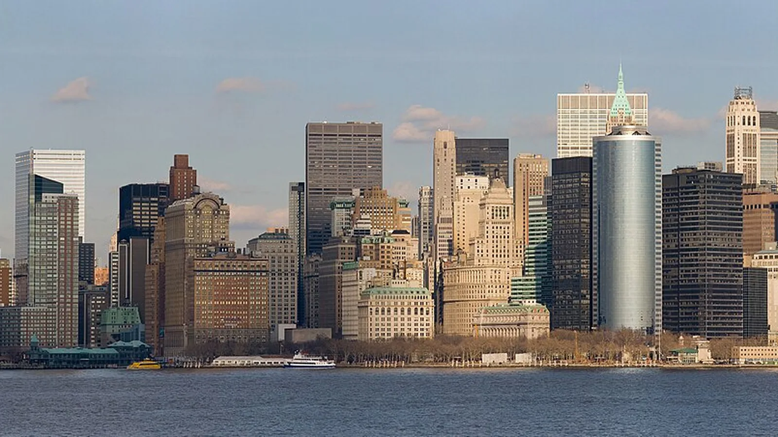
 United States · Commuter boats across the harbor
New York ferry routes & schedules
New York's ferries are pure city transport. The famous free Staten Island Ferry, the NYC Ferry network fanning out across the East River and beyond, and the NY Waterway commuter boats to New Jersey together move tens of thousands of people across the harbor every day.
- 112
- Connections
- 2
- Operators
- 38
- Quays
- 11m
- Avg crossing
About
Ferry travel in New York
The harbor's ferry lines
Three systems share the water. The Staten Island Ferry is the headline act — free, 24-hour, and one of the best free views in the world past the Statue of Liberty. NYC Ferry runs a growing web of routes linking Manhattan, Brooklyn, Queens and the Bronx on a single fare, and NY Waterway handles the trans-Hudson commute to New Jersey. All are foot-passenger services — this is a city network, not a car-ferry coast. Our guide on reading a ferry timetable helps with the frequent schedules.
Quays
Ferry quays in New York
38 quays with published connections. Open a quay for every route that calls there.
- Pier 11 / Wall St.26
- Brookfield Place Terminal15
- East 34th Street14
- Midtown / W. 39th St.14
- Paulus Hook10
- Port Imperial / Weehawken9
- Greenpoint8
- Hoboken / NJ Transit Terminal8
- Hoboken 14th Street8
- North Williamsburg8
- Atlantic Ave/BBP Pier 66
- Dumbo/Fulton Ferry6
- East 90th St6
- Hunters Point South6
- South Williamsburg6
- Astoria4
- Bay Ridge4
- Brooklyn Navy Yard4
- Corlears Hook4
- Edgewater Ferry Landing4
- Lincoln Harbor4
- Long Island City4
- Red Hook/Atlantic Basin4
- Roosevelt Island4
- Soundview4
- St. George4
- Stuyvesant Cove4
- Sunset Park/BAT4
- South Amboy3
- Ferry Point Park2
- Gov. Island/Yankee Pier2
- Haverstraw2
- Liberty Harbor / Marin Blvd.2
- Midtown West 39th St-Pier 792
- Ossining2
- Port Liberté2
- Rockaway2
- Governors Island
At a glance
Which New York crossings run most often?
The busiest published crossings, ranked by number of listed sailings.
| Route | Crossing | Sailings | Operators |
|---|---|---|---|
| Dumbo/Fulton Ferry → Pier 11 / Wall St. | 4m | 96 / wk | 1 |
| Brookfield Place Terminal → Paulus Hook | 7m | 96 / wk | 1 |
| Paulus Hook → Brookfield Place Terminal | 7m | 93 / wk | 1 |
| Pier 11 / Wall St. → Dumbo/Fulton Ferry | 8m | 93 / wk | 1 |
| Atlantic Ave/BBP Pier 6 → Pier 11 / Wall St. | 4m | 73 / wk | 1 |
| Pier 11 / Wall St. → Atlantic Ave/BBP Pier 6 | 7m | 71 / wk | 1 |
| Midtown / W. 39th St. → Port Imperial / Weehawken | 5m | 68 / wk | 1 |
| Brookfield Place Terminal → Hoboken / NJ Transit Terminal | 10m | 68 / wk | 1 |
| Hoboken / NJ Transit Terminal → Brookfield Place Terminal | 10m | 66 / wk | 1 |
| Port Imperial / Weehawken → Midtown / W. 39th St. | 10m | 65 / wk | 1 |
| Hoboken 14th Street → Midtown / W. 39th St. | 7m | 63 / wk | 1 |
| Lincoln Harbor → Hoboken 14th Street | 5m | 62 / wk | 1 |
Timetables
Ferry routes in New York
111 routes departing New York.
111 routes
Operators
Who runs the ferries in New York?
Guides
Planning ferry travel in New York
Practical guides to fares, booking and the crossings worth building a trip around.
- How to Read a Ferry TimetableDeparture times, crossing duration, operating days and seasonal changes — how to decode a ferry schedule and never miss a sailing.
- Foot Passenger vs Taking the Car: Which Should You Choose?When it's worth bringing the car onto the ferry and when you're better off as a foot passenger — cost, convenience and what waits on the other side.
Travel updates
Latest updates for New York
FAQ
Frequently asked questions
Is the Staten Island Ferry free?
Yes — the Staten Island Ferry between Manhattan and Staten Island is free, runs around the clock, and passes close to the Statue of Liberty, making it one of New York's best-value sightseeing rides. The separate NYC Ferry network, by contrast, charges a per-ride fare.
How many ferry routes are there in New York?
New York has 112 ferry and express-boat connections across 38 quays. Each route page lists the timetable, crossing time and operator.
Who operates ferries in New York?
Boat and ferry services in New York are run by 2 operators, including NY Waterway and NYC Ferry. Most are part of United States's county public-transport network.
How long are ferry crossings in New York?
Across New York's active crossings the average sailing takes about 11m, while the longest runs roughly 1h 15m. Each route page shows the exact duration.
Explore
Other ferry regions in United States
Reviewed by Serhat Özçelik, Founder & Editor of Ferry Schedule Hub · Last updated October 11, 2026.