 Innlandet, Norway
Ferries from Kapp Skibladnerbrygga
Ferry departures from Kapp Skibladnerbrygga will be listed here as schedules are published.
Routes & timetables
What ferry routes connect Kapp Skibladnerbrygga?
No ferry routes are listed for this port yet.
Location
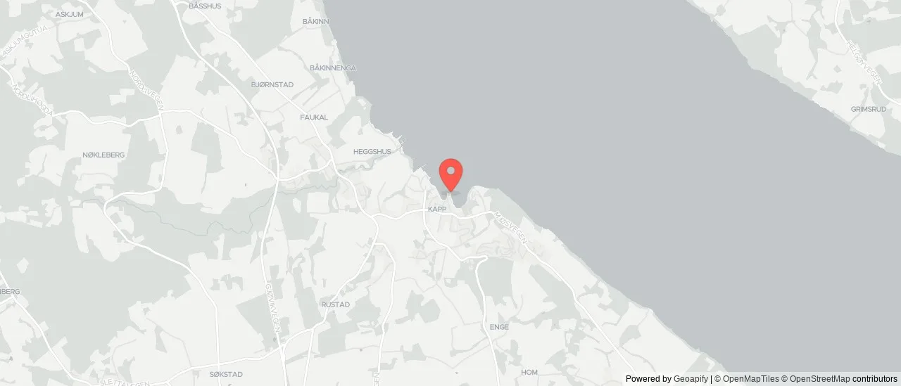
Where is Kapp Skibladnerbrygga?
- Region
- Innlandet
- Coordinates
- 60.716° N, 10.864° E
About
About Kapp Skibladnerbrygga
Kapp faces two ways across the widest part of Mjøsa. Hamar is 7.5 nautical miles east, 55 minutes out and 50 back; Gjøvik is 6.9 miles north, 45 minutes out and 50 in. Two sailings a week on each leg.
The first departure of the day here is at 10:20 and the last at 18:45 — a working day for the vessel, not for commuters. Nobody is using this to get to an office.
Kapp is on the western shore in Østre Toten, farming country that supplied a condensed-milk factory here from 1901; the plant is gone but the name Kapp Melkefabrikk still attaches to the buildings. Piers like this one were the reason the lake had a steamer service at all — the farms shipped out through them long before the roads round Mjøsa were worth using.
Reviewed by Serhat Özçelik, Founder & Editor of Ferry Schedule Hub · Last updated Aug 17, 2026.
Help us keep schedules accurate — we read every report.